Point cloud: what it is, and what you actually do with it
A point cloud is a file that holds hundreds of thousands, sometimes billions, of points. Each one has X, Y, Z coordinates, usually a color, often a laser return intensity. That's it. No surface, no volume, no material. Just a scatter of points in space that, from a distance, redraws a building, a statue, a whole room. One thing up front, because the term is loaded: I mean the point cloud you get from a 3D scan, not the scatter plot in a spreadsheet. Same words, two unrelated trades. If you came for data visualization, this guide is not for you.
I've been calibrating and preparing projection mapping projects for 15 years, and 3D scanning has become my first step on any surface that isn't a flat wall. Before I hang a projector on the Arc de Triomphe or across the 3,400 m² of the Museum of Art and Light in Kansas, I need a model of the surface. That model almost always starts as a point cloud. Here's how it's born, what it's good for, and the exact moment it stops being worth the effort.
Two methods dominate, and they don't give the same result.
LiDAR. The scanner fires laser pulses and measures the return time. The speed of light is known, so each round trip gives a distance, and that's a point. A terrestrial scanner drops millions of points in minutes with reliable geometry. The catch is range and edges. In a Pix4D comparison (2024), a consumer mobile LiDAR topped out around 5 meters of useful range and struggled with sharp edges, while photogrammetry hit 0.004 m error against LiDAR's 0.047 m on their test.
Photogrammetry. You shoot the object from dozens of angles, software finds the shared points across images and rebuilds the 3D position through parallax. It's cheaper (a camera, sometimes a drone), it's dense, and it captures color natively. The catch is sensitivity to light, blur, and featureless surfaces. A flat matte white wall gives photogrammetry nothing to lock onto.
Choosing isn't about which is better. It's about what you're scanning, in what light, to what precision. A carved façade shot outdoors in daylight usually goes photogrammetry. A dark, geometric interior goes LiDAR. That decision is worked out in the 3D building scan guide.
A raw cloud is never clean. Three things to watch.
Density. The average spacing between points, in millimeters. Finer means more detail and a heavier file. For mapping seen from a distance, 5 to 10 mm spacing is plenty. Scanning a façade at 1 mm when you'll project it from 30 meters away fills a drive for nothing.
Noise. Every scan brings back stray points: reflections, dust in the air, passersby, vegetation that moves between shots. Those floating points belong to no real surface. Left in, they poison the mesh later.
Cleanup. The step nobody shows and everybody underestimates. You register the scans to each other, strip the noise, crop what you don't need. On a serious survey, cleanup often takes longer than the capture itself. That's where a 12 GB file becomes a usable 2 GB model.
The format isn't paperwork. Pick the wrong one and you lose color, scan geometry, or interoperability.
For a deeper breakdown of each format, The Future 3D keeps a detailed comparison. On the reconstruction side, France's IGN has published MicMac as open source since 2003, still a serious way into photogrammetry without a license fee.
Here's the mistake I see most: treating a point cloud as a 3D model. It isn't one. A cloud is points with no connection between them. To project onto it, measure on it, or load it into a media server, you have to convert it first.
The chain is always the same:
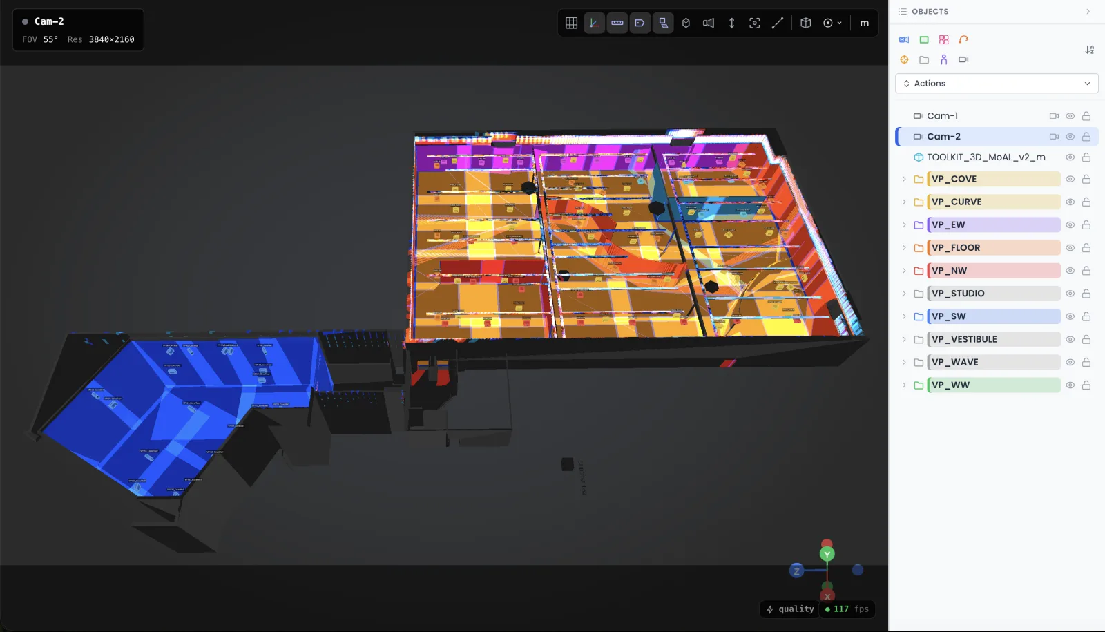
I do that prep work in a 3D simulator before the truck leaves: drop the scanned model into a scene, place the projectors, check coverage and real lux. That's the job of Lumeo, which runs in the browser and spares you learning Blender for a feasibility study.
Scanning is trendy, so people scan for nothing. Cases where I've told a client to skip it:
A well-captured, well-cleaned point cloud saves days on a complex project. Poorly scoped, it's a full drive and a false sense of security.
For the full method, from picking a scanner to a model ready to project, start with the 3D scanning guide for mapping. And if you've got a cloud on your hands, a project to register, and doubts about what comes next, write to me. I've cleaned up enough bad scans to spot yours from across the room.
Cookies and privacy Learn more
This site uses cookies to measure audience and improve your experience. You can accept, reject or customize your preferences at any time. Learn more