Photogrammetry Software: Which One to Prepare a Mapping
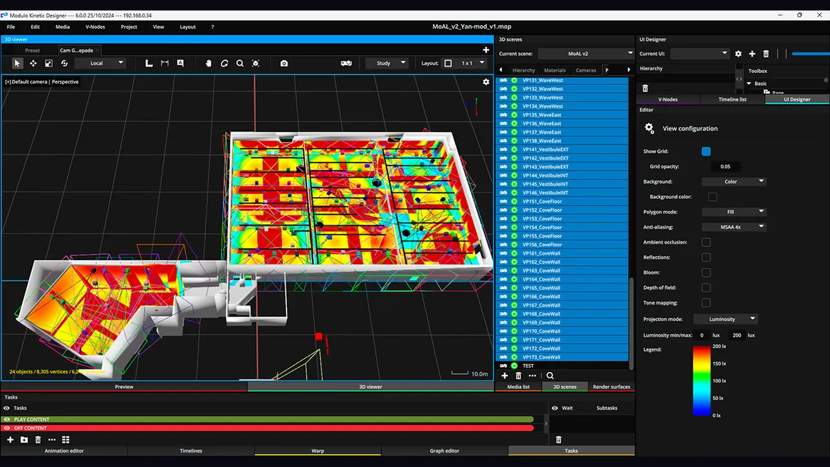
Photogrammetry software takes a set of photos of an object or a place and rebuilds a textured 3D model from them. You walk around a facade shooting frames, the software recovers where each photo was taken, triangulates millions of points, and hands you a mesh. It is the cheapest way to digitise a surface: no 30,000-euro scanner, just photos and compute time.
Most comparisons online rate these tools for surveyors, drone pilots or 3D printing. I scan buildings to project onto them. That angle changes everything. I don't need cadastral millimetre accuracy. I need a clean model, at the right scale, that I can import into a mapping tool and align my projectors against. This guide sorts the software by family, with one question in mind: which one to prepare a show.
Every price and licence below was checked in July 2026. Photogrammetry moves fast, so verify before you buy.
If you are starting out, or you scan a venue once a year, begin here. It costs nothing and it is more than enough for mapping.
Meshroom is the name everyone cites first, and rightly so. Built by the AliceVision project, released under the MPL-2.0 licence, free with no asterisk. Node-based interface: you drop in your photos, run the pipeline, and it handles everything from alignment to textured mesh. The catch is that it wants an NVIDIA (CUDA) GPU for the dense stage, and a large photo set can churn for hours. For a properly shot facade, it is the tool I recommend to anyone who has never done photogrammetry.
COLMAP plays a different game. A Structure-from-Motion and Multi-View Stereo pipeline, BSD licence, also free. More austere, closer to the command line, but respected for the quality of its camera pose reconstruction. It is the tool for people who want to understand and control every step, not click a button. For mapping it is overkill unless you enjoy fine control or you are feeding a larger pipeline.
The trap with free tools is not the software, it is your photos. A bad set of frames, blurry, poorly overlapping, shot into the light, will never make a good model, whatever the engine. Photogrammetry rewards capture discipline before anything else.
When you do this for a living, two names come up.
RealityScan is the former RealityCapture, renamed by Epic Games in 2025 (version 2.0, then 2.1). Its reputation is speed: it swallows thousands of photos and produces a model faster than most rivals. The licensing changed in a way that helps a lot of people: free for students, educators, and individuals or companies with gross annual revenue under one million dollars. Above that, it is 1,250 dollars per seat per year (checked July 2026). So for a freelancer or a small studio, it has become a free professional tool. Hard to beat.
Metashape, from Agisoft (the old PhotoScan), is the other pillar. Known for precision and algorithmic control, it is the favourite of research and demanding survey work. Perpetual licence, no subscription: Standard edition at 179 dollars, Professional at 3,499 dollars (commercial node-locked prices, checked July 2026). Standard is enough to output a textured mesh; Pro unlocks georeferencing, control markers and heavy processing that mapping usually doesn't need.
Between the two: RealityScan for speed and price, Metashape for control and a licence you pay for once. For live events, free RealityScan covers almost every case.
Polycam earns its place because it moves the goalposts. You scan with a phone, using photos or LiDAR on Pro iPhones, and get a model in a few minutes with no compute rig. Free tier to create and export in a few formats, paid plan for large captures (past 250 photos) and full export.
For mapping, Polycam is perfect for a site recce. You visit, scan the scene in ten minutes, and leave with a 3D layout accurate enough to start placing projectors. It is not the precision of a Metashape fed by a DSLR, but to validate a layout before renting anything, it is often plenty. The shortcut I take most often on a tech visit.
The mental table I use, framed by the project rather than the spec sheet:
None of these tools is bad. They answer different constraints. The classic mistake is reaching for heavy artillery on a light job, or the reverse.
The model your software produces is not ready for a show yet. It is raw: several million triangles, chaotic topology, sometimes holes. Two steps wait.
The direct output of a photogrammetry engine is often a point cloud before it becomes a mesh, and understanding that difference saves a lot of surprises at import. Then, for a real-time tool to swallow the model without choking, you almost always need retopology, rebuilding clean, light geometry over the heavy scan.
Once the model is lightened, it goes into a preparation tool. That is exactly why I built Lumeo: import the mesh from the scan, place projectors around it in a 3D scene, check the overlaps and the real lux on the surface, and validate the layout before renting a single machine. The scan comes before the simulation, the simulation before the truck.
For the full chain, from choosing capture gear to the server that plays it back, start from the 3D scanning for mapping guide. And if your question is about hardware rather than software, the guide to choosing a 3D scanner covers the point where photogrammetry stops being enough and a lidar becomes necessary.
Free software makes photogrammetry tempting everywhere. It is not.
Photogrammetry is a tool, not a reflex. It shines when the surface is complex, irregular, undocumented, and you have the time to shoot it well. The rest of the time, a tape and a primitive do the job.
If you are torn between two packages for a specific project, write to me. I have probably scanned a comparable surface, and I will tell you which one to pick without selling you the priciest.
Cookies and privacy Learn more
This site uses cookies to measure audience and improve your experience. You can accept, reject or customize your preferences at any time. Learn more